Understanding Watersheds from Data to Local Wisdom: Preparing a Study of Transboundary Watersheds in Indonesia and Timor-Leste
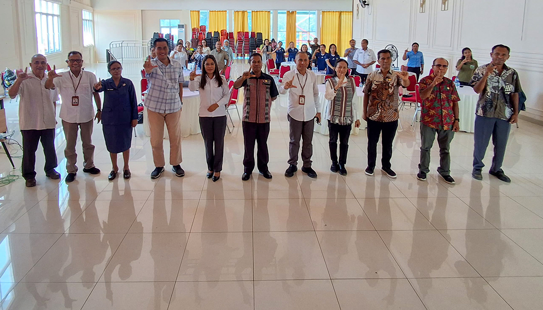
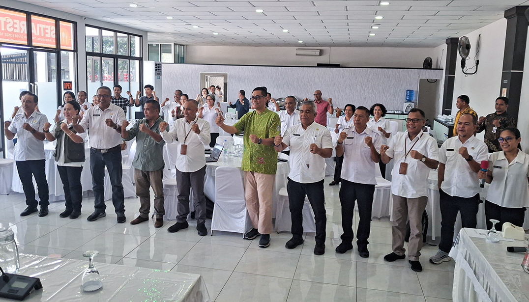
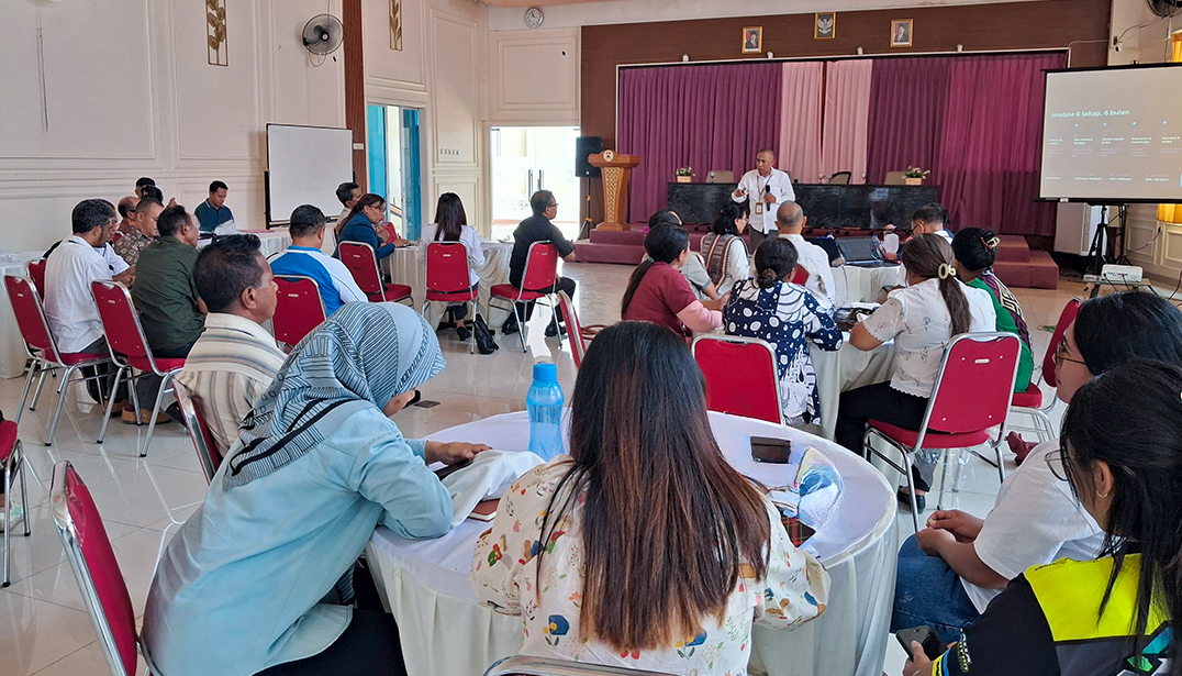
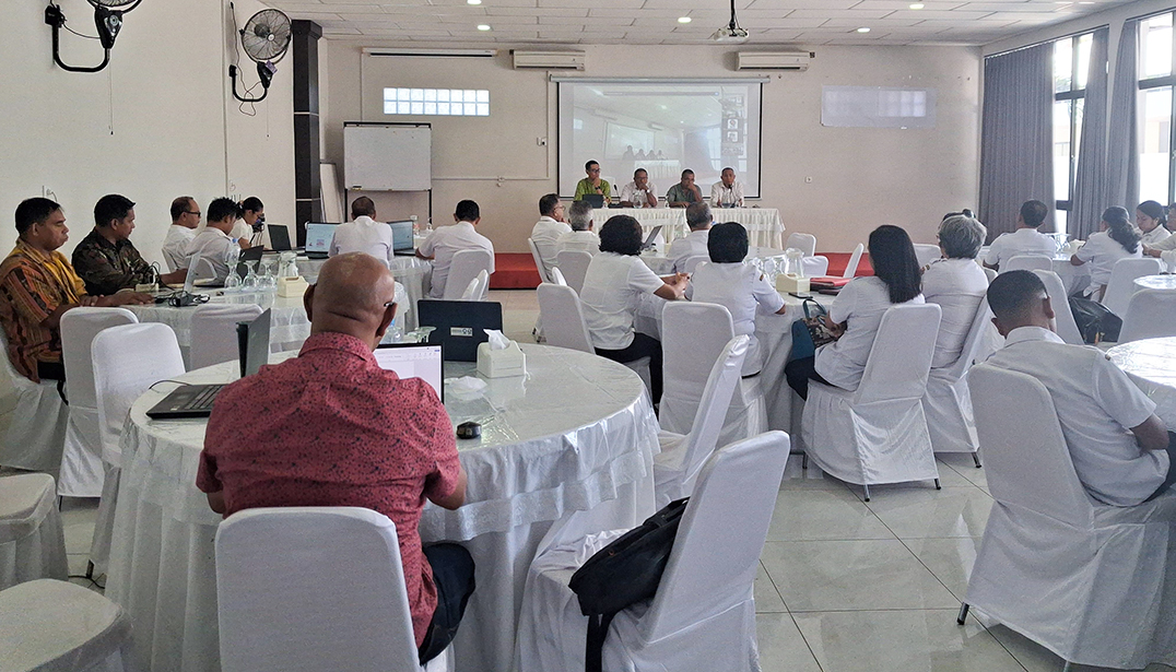
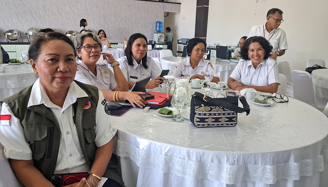
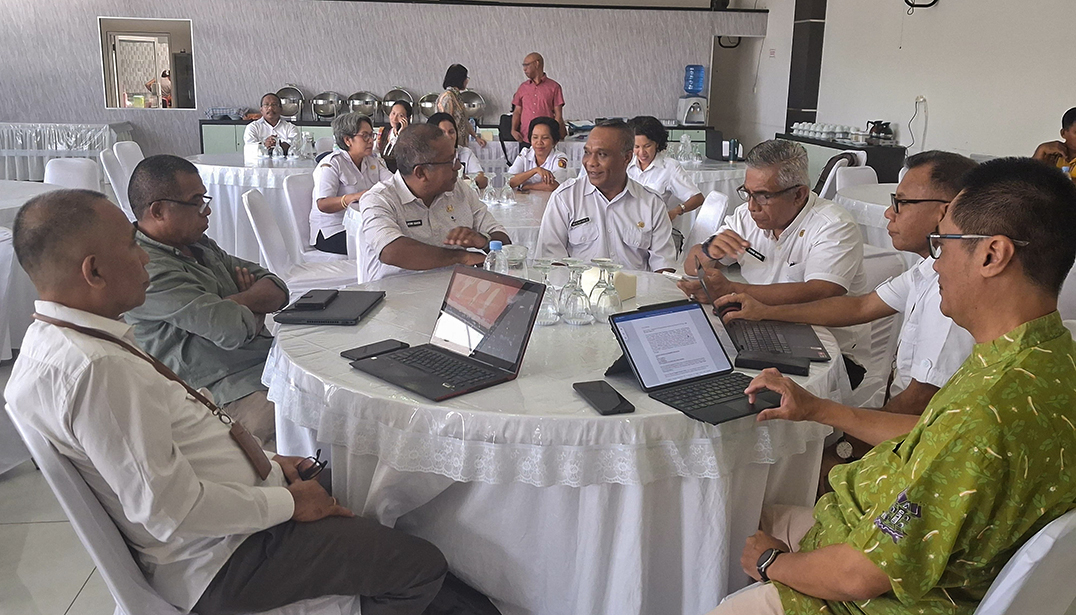
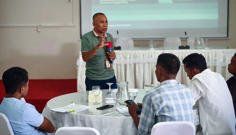
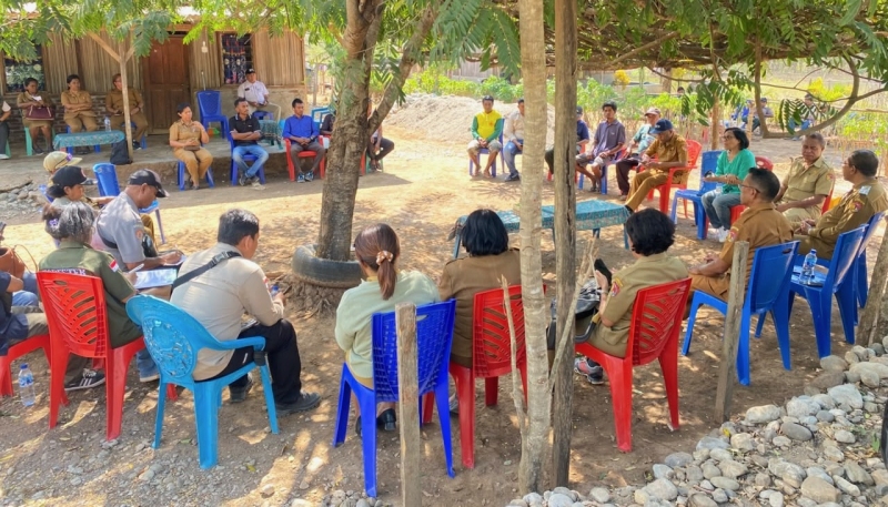
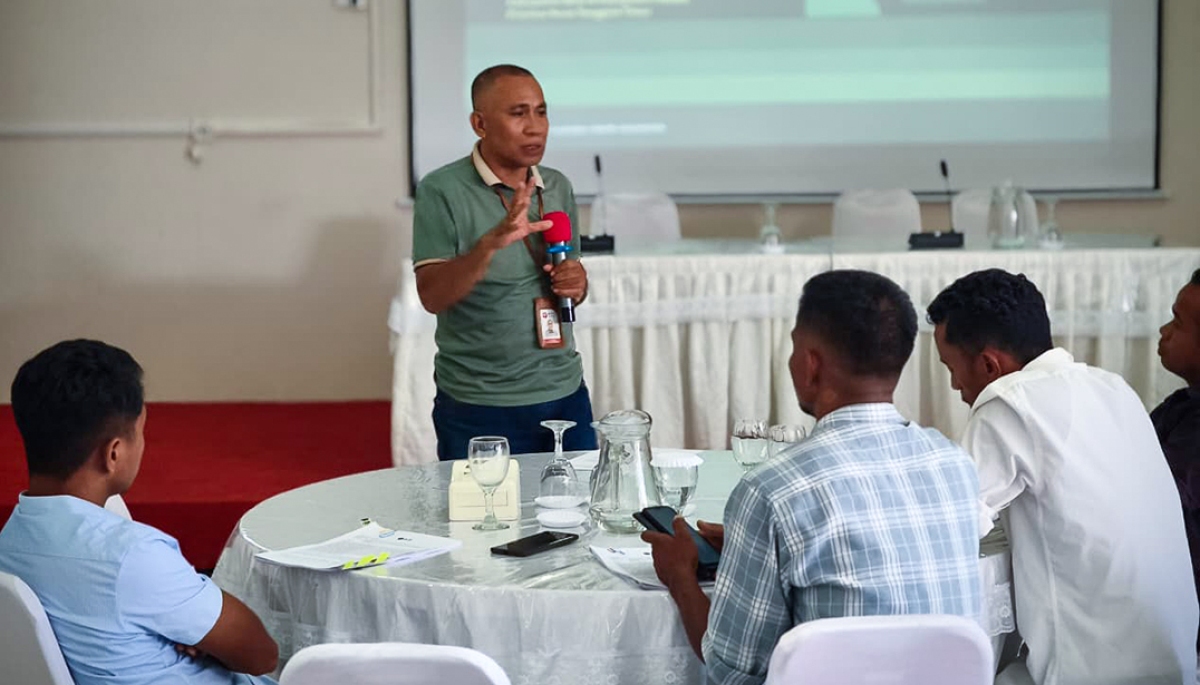
Inovasi Tangguh Indonesia (InTI) together with selected Transboundary Diagnosis Analysis (TDA) consultants for the Indonesian region, namely the National Research and Innovation Agency (BRIN), held a workshop to prepare for the implementation of the TDA study in the Indonesia-Timor-Leste Transboundary Watershed of Talau Loes and Motamasin. The workshop on the preparation of the implementation of TDA was held on November 4, 2026 at the Setia Hotel, Atambua City, Belu Regency, and on November 6, 2026 in Betun City, Malaka Regency, East Nusa Tenggara Province. This workshop was attended by all members of the Belu and Malaka Transboundary Watershed Working Group and Conservation International Timor-Leste, the co-executing agency of TIWA in Timor-Leste, to provide inputs on the TDA implementation plan that has been prepared by the BRIN team.
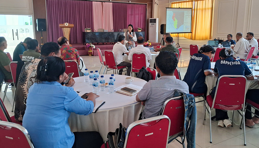
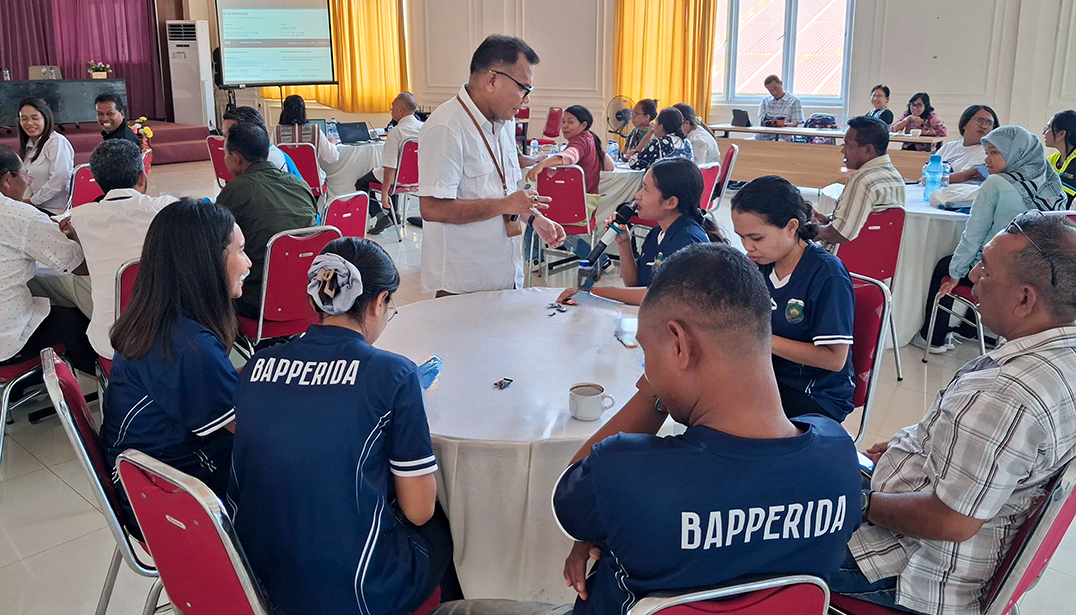
In Belu Regency, the workshop was opened by Rine Bere Bria, S.T., Assistant for Economy and Development (Assistant II) of the Belu Regency Regional Secretariat as well as the Chairman of the Belu Regency Transboundary Watershed Working Group, while in Malaka Regency, the workshop was opened by Wendelinus Yosef Un, S.P, General Administration Assistant (Assistant III) of the Malaka Regency Regional Secretariat as well as the Chairman of the Malaka Regency Transboundary Watershed Working Group. In these 2 activities, the BRIN team led by Prof. Dr. Ir. Tony Basuki, M.Si. and Dr. Bernard de Rosari, S.P., M.P. explained the plan to implement the study for six months, October 2026 to March 2027. The presentation included the study approach, the type of data to be collected, and the field survey plan. A number of participants then gave their responses. The questions that arose from the workshop participants in the two workshops were not only about methods, but also how to ensure that the data to be excavated could really reflect the conditions of the community and the area being studied. Several proposals for improving questions and adding survey questions were submitted in the workshop, in addition to Belu Regency, proposals were submitted for changing the location of data collection in the upstream area with consideration of cultural and ethnic variations of the community in the Talau-Loes watershed.
Ensuring that the study departs from field conditions
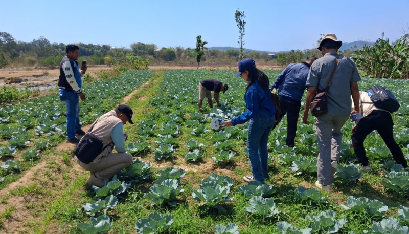
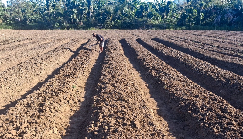
To understand the problems of the Talau-Loes and Motamasin watersheds comprehensively, BRIN uses the DPSIR (Drivers, Pressures, State, Impact, and Response) and Causal Chain Analysis (CCA) approaches to trace the driving factors, pressures on the environment, changes in conditions, impacts caused, and responses that have been carried out in the 2 watersheds. From the biophysical side, the study will produce 11 thematic maps, take 20 water samples from rivers and wells, and 20 soil samples from upstream, middle, and downstream areas to be tested in the laboratory. Meanwhile, socio-economic data collection is planned through a survey of 429 households in 15 villages with the support of 15 local enumerators from Belu and Malaka. The data will also be supplemented through focus group discussions (FGDs) and in-depth interviews with stakeholders.
The survey plan gave rise to a discussion about the determination of location and respondents. Participants reminded that the division of upstream, middle, and downstream areas is not enough based only on physical conditions, such as slope slopes. Settlement density, community characteristics, land use patterns, and economic activities, including the practice of using water resources and other natural resources by the community, also need to be taken into account.
The issue of water sources is also a concern. Participants reminded that water sources in the upstream area are not necessarily only used by local communities. There are water sources used by residents in other areas. In addition, water discharge in the rainy and dry seasons can be different. Therefore, the determination of sampling locations needs to consider the utilization and condition of water sources in the field. BRIN confirmed that the participants' proposals for an inventory of data that already exist in each local and central government, including thematic and spatial maps, have been planned by BRIN in this TDA study to see the data gaps that still need to be sought.
Customs and public relations also need to be read
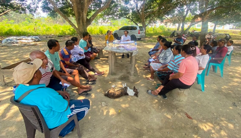
A number of workshop participants raised socio-cultural aspects that are considered important to understand watershed management in border areas where community relations do not always follow the administrative boundaries of the country. Family ties, tribes, relationships between indigenous communities, and customary practices connect communities on both sides of the border. One of the participants reminded the importance of understanding the concept of three furnaces, namely the government, church or religious institution, and customs. All three have a role in the lives of the border communities of Indonesia and Timor-Leste, including in building agreements and decision-making at the local level. Another example that emerged in the discussion was the tradition of taking honey in forest areas presented by Conservation International Timor-Leste. This activity has customary rules that regulate the procedures and access rights of communities in customary forests. Thus, the use of forest products is not only a matter of taking resources in neighboring countries within the same watershed area, but also related to the rules and customs that have been carried out by communities in the border for generations.
Changes in forest conditions and community access to the area can affect the sustainability of local practices. Therefore, participants encouraged that customary rules and local wisdom should not be missed in the study. The relationship between upstream and downstream communities is also an interesting discussion. Communities that protect forests and water sources in upstream areas also provide benefits to communities downstream. In the discussion, a proposal was made that the study also consider the possibility of benefit-sharing mechanisms or incentives for communities that maintain ecosystems in upstream areas. The form and implementation of this course still need to look at local needs and conditions. These inputs show that watershed problems cannot be separated from the way communities manage natural resources, the rules they run, and the relationships between groups in the region.
Prepare data as the basis for joint steps
This study is expected to identify the most pressing environmental issues, look at ecosystem conditions and water security, and understand their impact on food security and people's livelihoods, and need to see the extent to which existing policies and governance have responded to these problems. BRIN plans two main outputs, namely the Overall TDA Results Report for the TIWA program and a condensed version of the TDA report for decision-makers (Decision Makers Version). Before the final report is completed in March 2027, the interim results are planned to be discussed and validated with stakeholders, especially the Transboundary Watershed Working Group in Belu and Malaka.
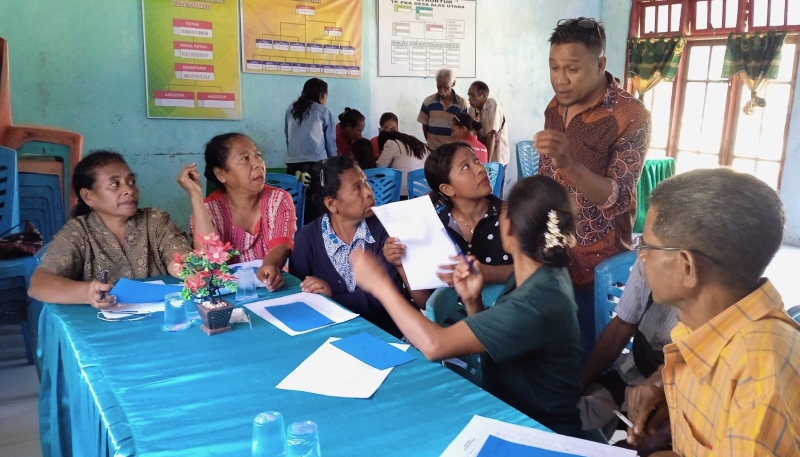
Preparations for data collection are also continued through training for enumerators who will serve in the Talau-Loes and Mota Masin watersheds. This training includes an introduction to the KoboCollect application, understanding the content and purpose of the questions in the questionnaire, and the skills of extracting information from respondents. The enumerators not only receive material explanations, but also practice filling out questionnaires and conducting interview simulations in pairs. They take turns playing the role of enumerators and respondents to understand the interview flow, the use of applications, and how to convey and follow up on questions without directing answers. This preparation is part of BRIN's efforts to maintain the quality of the data to be collected. In the end, the results of the study are expected to help local governments and stakeholders understand watershed problems based on real conditions on the ground. That way, the management planning of the Talau-Loes and Mota Masin watersheds can consider not only the condition of the ecosystem, but also the source of livelihood, needs, and knowledge of the community that has been coexisting with the environment. (InTI)