Building Transboundary Resilience
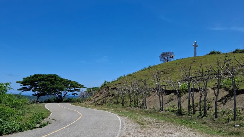
Aside from the administrative boundaries between the Republic of Indonesia and the Democratic Republic of Timor-Leste, communities on the border between the two countries are actually connected through several transboundary watershed ecosystems. Two of them are the Talau-Loes and Mota Masin watersheds. These two watersheds are not just landscapes but a unity of upstream, middle, and downstream hydrological systems, connecting communities living in two countries, ensuring the availability of water, food and livelihoods through their ecological balance. This watershed ecosystem is also a fortress for biodiversity to mitigate disaster risks, especially those triggered by climate change. In short, the good or bad condition of the ecosystem here will have a direct impact on the capacity of the community in the 2 watersheds in maintaining food security and sustainable livelihoods. Unfortunately, this watershed area continues to be under increasingly severe environmental and social pressure. Referring to basic research in 2021, it is clear that there are real threats such as deforestation related to land use changes, land degradation, soil erosion, and water crises that are starting to haunt us. This condition is even more worrying because the local community has high economic vulnerability and is highly dependent on the carrying capacity of nature to survive. Not to mention the challenges of climate change and extreme weather that often trigger droughts, floods, and declining farmers' crops. Although preliminary data related to governance problems in the two watersheds is available, there is still a need for more comprehensive information on priority watershed management problems there so that watershed governance there can be more effective and integrated. Given its transboundary nature, environmental protection efforts in this watershed area require more than just scientific research, but also require strengthening cooperation between border communities and solid institutions between Indonesia and Timor-Leste.
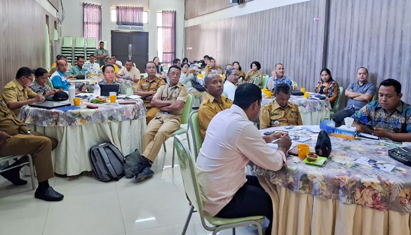
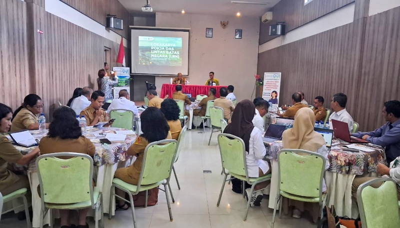
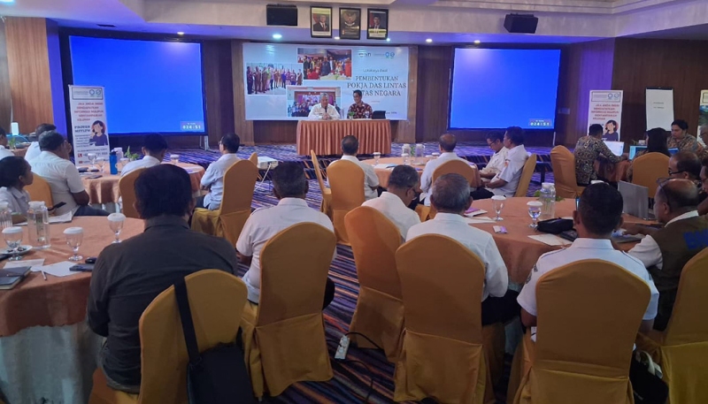
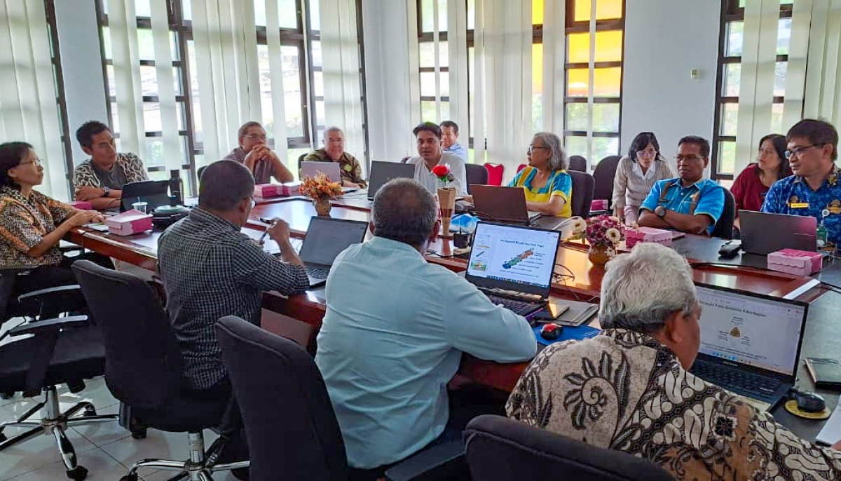
To answer these challenges, through the support of Conservation International (CI) and the Global Environment Facility (GEF), the Management of Indonesia–Timor-Leste Transboundary Watersheds (MITLTW) project, or familiarly known as Timor Island Watersheds (TIWA), facilitated the implementation of Transboundary Diagnostic Analysis (TDA) which will thoroughly study ecologically, socially, economically, and culturally the problems of watershed governance in the 2 watersheds. It is hoped that by identifying the roots of the existing priority problems, strategic efforts to overcome them can be formulated so that the Talau-Loes and Mota Masin watersheds are still able to provide important ecosystem services while ensuring water security and community welfare in the long term. This is where the role of TDA becomes very crucial as the main analysis tool. TDA works systematically to map priority environmental problems, see their impact on nature and humans, and dig into the root causes of the problems that occur. By combining science, field facts, and the voices of key stakeholders, especially people living in watershed areas, TDA builds a robust database and information that will guide policy direction and concrete action through the Strategic Action Programme (SAP). For the implementation of this TDA, Inovasi Tangguh Indonesia (InTI) as the Co-Executing Agency of the MITLTW/TIWA project in Indonesia collaborated with the Research Team from the Faculty of Agriculture, Nusa Cendana University, Kupang, NTT. This team also previously conducted a study that produced baseline data for the MITLTW/TIWA project.
Methodologically, this TDA study is not only fixated on one aspect, but combines the analysis of biophysical, socioeconomic, and institutional aspects. This is in accordance with the TDA implementation guidelines from CI-GEF and also based on the Implementation Guidelines for Watershed Characteristics Studies from the Indonesian government which was agreed by the Government of Timor-Leste during the Initial Workshop of the TIWA Program in Kupang in May 2025. This cross-faceted approach sharpens our understanding that environmental problems are often rooted in social conditions, management (governance), and economic activities in the watershed. On the biophysical aspect, experts dissect climate patterns, water systems, land cover changes, and soil health. Here, satellite technology and Geographic Information Systems (GIS) are used to monitor environmental changes, which are then proven directly through field checks.
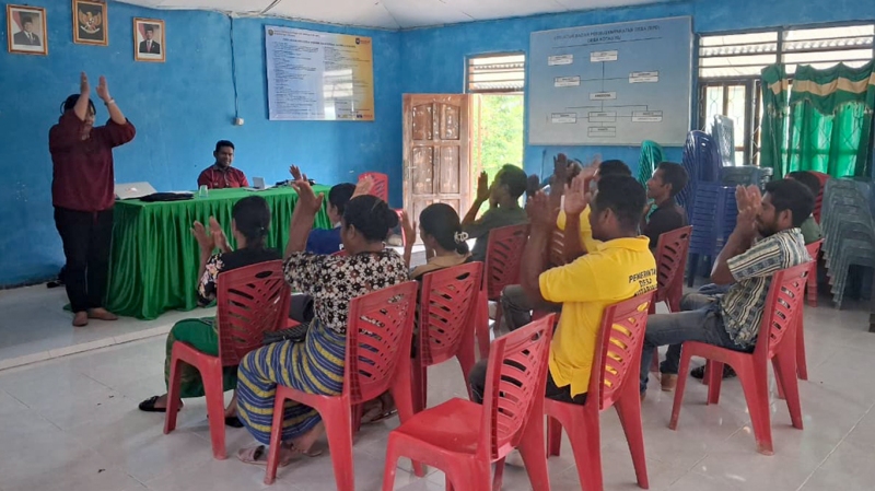
TDA's technical data alone is not enough if we forget the human aspect, therefore socio-economic analysis is an important pillar because the dependence of residents on the carrying capacity of nature is very large, so this TDA will also capture the condition of family income, food security, and access to clean water. Through survey methods, group discussions (FGDs), and in-depth interviews, the perspectives of local communities in adapting to environmental changes can be captured in their entirety as primary data. All of this is complemented by institutional analysis to see the extent of the rule of law, institutional capacity, and transboundary cooperation mechanisms that are already in place, while still prioritizing the principles of transparency, gender inclusion, and public participation. In addition to the primary data collected above, supporting secondary data related to government reports, climate change records, satellite imagery, and other scientific data sets. Analytical tools such as causal chain analysis, environmental risk assessment, and stakeholder mapping will be applied in TDA to identify key factors triggering problems in watershed governance and identify priority areas for better watershed governance interventions in terms of policy improvement or improvement and improvement of development planning in Transboundary Watersheds and their implementation. (InTI)